
3D laser scanning and Scan-to-BIM in Portland, Oregon
Before a renovation, tenant improvement, or facility project can move forward, the project team needs a clear understanding of what is actually in place. Siteline documents visible and accessible existing conditions and prepares project-specific deliverables for planning, design, and coordination.
From its Portland-area office, Siteline provides 3D laser scanning, registered point clouds, Scan-to-BIM, existing-condition Revit modeling, 360-degree documentation, and drone capture for projects in Portland and across Oregon.
Portland-area office and Oregon project support
Siteline has an office and resources in the Portland area to support projects in Portland and across Oregon. The team works with owners, design teams, contractors, and facilities staff to define the capture area, coordinate access, and confirm what the project team needs to receive.
This office-backed regional presence gives Oregon clients a direct path to Siteline's field and production resources while keeping the scope tailored to each project.
Existing-condition information for planning and design
Existing drawings may be incomplete, outdated, or unavailable. Siteline captures visible and accessible conditions within the agreed scope so project teams can work from a current record of the areas documented.
The right deliverable depends on the project question. One team may need a registered point cloud for measurement and design reference, while another may need a Revit model, CAD drawings, 360-degree imagery, drone deliverables, or a combination of outputs. These are distinct deliverables, and each is defined during project scoping.
Accuracy requirements, coordinate basis, capture method, coverage, deliverables, model content, file formats, and related project requirements are established and tailored to the intended use.
3D laser scanning and registered point clouds
3D laser scanning documents measurable data for visible and accessible conditions within the agreed capture area. Siteline processes the individual captures into a registered point cloud that provides a coordinated record of conditions at the time of capture.
The team selects the capture approach around the project environment, access, accuracy requirements, and intended deliverables. A fuller explanation of field planning, capture, registration, review, and delivery belongs on the shared process and capture-method pages.
Scan-to-BIM and existing-condition modeling
Scan-to-BIM combines separate field capture, point-cloud processing, and modeling work to create a Revit model of the elements included in the project scope. Siteline can develop a new existing-condition model or use captured data to check and update an existing model supplied by the project team.
Model content, disciplines, accuracy requirements, coordinate basis, file format, and related requirements are defined around how the model will be used. The completed model is checked against the point cloud and reviewed against the agreed project requirements.
Additional reality capture services
Siteline also provides 360-degree documentation and drone capture when they support the project question. Navigable 360 imagery gives project teams visual context for accessible conditions, while drone capture can document agreed exterior, roof, facade, and site areas.
These services may be paired with 3D laser scanning and modeling or scoped as separate deliverables. The shared service pages provide more detail about suitable uses, methods, limitations, and available outputs.
Experience with active, occupied, and complex project environments
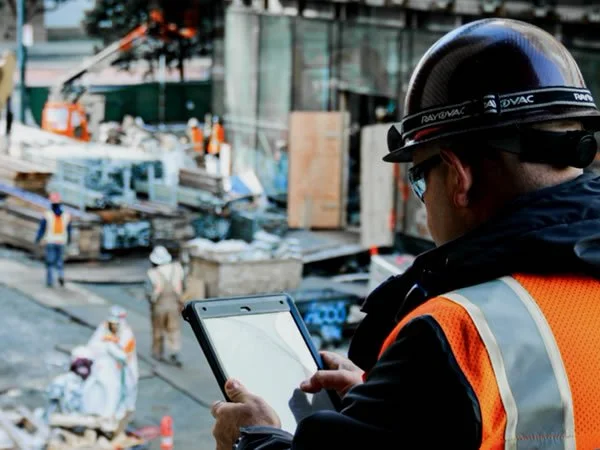
Siteline supports work in occupied buildings, healthcare facilities, higher-education campuses, commercial offices, industrial facilities, active construction sites, and adaptive reuse projects. These environments can require careful access planning, coordination with project or facility representatives, and a clear understanding of which areas and systems must be documented.
The Siteline team plans fieldwork around the project environment and adapts the approach when access, operations, visibility, safety requirements, or site conditions call for it. Existing-condition data can help teams reduce uncertainty, evaluate design options, and identify potential conflicts earlier.